


N5 Net Software Repository
Your one-stop for all your software needs.
Search N5 Net Software Repository:
Search Files
Sponsor:
Browse:
- Audio & Multimedia (3039)
- Business (5565)
- Communications (1642)
- Desktop (531)
- Development (1260)
- Education (505)
- Games & Entertainment (1131)
- Graphic Apps (1290)
- Home & Hobby (269)
- Network & Internet (1005)
- Security & Privacy (1246)
- Servers (129)
- System Utilities (32725)
- Web Development (518)
Areas Of Interest
Authors Area
Are you a software author? Take a look at our Author Resource Center where you will find marketing tools, software specifically created for promoting your software and a ton of other helpful resources.
VIGps 1.0

(Click to Enlarge)
GPS Navigator with using a scanned maps and possibility to open a lot of maps together. - you can show a current GPS data (Speed, Direction, Longitude, Latitude, Time, Date, Height); - you can open any of scanned maps (in a "bmp" or "dib" format); - you can calibrate the scanned maps yourself by two calibration points only (left-top and right-bottom); - calibrations are stored automatically for every map, you do not need to calibrate a map next time; - you can see your route line and speed direction at the map; How to use it: - connect your GPS device to your computer by the com-port; - open a Properties Dialog and set you comport's name and a Bits Rate (for example: COM1, 4800); - you will see your position point at the World Map. - open any scanned map file in a bmp or dib format; - point by mouse to the left-top point at the map, where you know the coordinats of that point (where coordinate lines are crossed, or where you have measured a coordinates yourself by your GPS device); - press a right mouse button and input coordinates for that point; - make the same for a right-bottom point anywhere at the map; - now your scanned map is calibrated and you will see your position, speed direction and route line at it; - menu "View / Clear calibration Points" for new calibration of a current map; - use a button "Show Route Line" for siwtch on/off of showing a Route Line; - use a button "Show GPS Data" for open a GPS Data window; Hints: - you can open a lot of scanned maps, GPS Data, World Maps together; - default settings for comport: COM1, bits per second: 4800, data bits: 8, parity: none, stop bits: 1, flow control: hardware; - use Property Dialog for setting a comport (Name and Bits per second) and refresh time for active map; - maximize a GPS Data window to show a speed and direction as a big symbols (when you are sailing);
Specifications:
Version: 1.0 |
Download
|

Similar Products:
Graphic Apps :: Viewers
 The Panorado5.0 image viewer/browser offers a comfortable, innovative mouse-oriented interface. This makes it particularly suitable for viewing panoramic and HDR images. Instant 360-degree viewing, flat + spherical. Navigation bar, thumbnails, full screen mode, slide shows, printing, picture disk creation, image finder. 14 file formats + QTVR + RAW + HDR. EXIF, IPTC and GPS support. Windows application.
Windows | Freeware
Read More
Graphic Apps :: Viewers
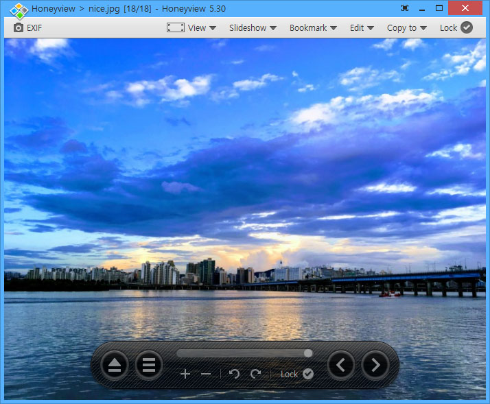 Honeyview is very fast image and archived image viewing software which allows the viewing of images within an archive, such as ZIP, RAR, 7Z, LZH, TAR, ALZ, and EGG, without extraction. Honeyview can view most common image formats including BMP, JPG, GIF, PNG, PSD, DDS, JXR, WebP, J2K, JP2, TGA, TIFF, PCX, PNM, and PPM. RAW formats such as DNG, CR2, CRW, NEF, NRW, ORF, RW2, PEF, SR2, and RAF are also supported.
Windows | Freeware
Read More
Business :: Math & Scientific Tools
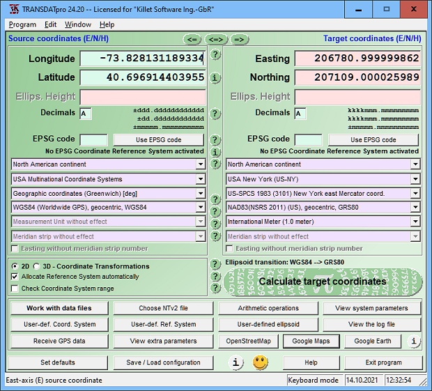 TRANSDATpro Coordinate Transformation supports thousands of coordinate systems and geodetic datum shifts, user-defined systems, INSPIRE, NTv2, NAD, HARN, EPSG, GPS, continental drift, Text, CSV, Arc-Shape, KML, GPX and other file systems with highest accuracy. Outdoor GPS reception, mapping in Google Earth, Google Maps and OpenStreetMap, Meridian Convergence and Extra Parameter, Polygonal scopes in NTv2 files, multilingual user interface.
Windows | Shareware
Read More
Network & Internet :: Other
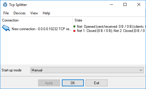 TCP Splitter is a software tool that can split a TCP or UDP data stream into two or three identical data streams, so more than one application can simultaneously process the incoming data. For example, you can send NMEA 0183 data to a navigation application and simultaneously log the data using one of our loggers.
Windows | Shareware
Read More