Search N5 Net Software Repository:
Search Files
Sponsor:
Browse:
- Audio & Multimedia (3039)
- Business (5565)
- Communications (1642)
- Desktop (531)
- Development (1260)
- Education (505)
- Games & Entertainment (1131)
- Graphic Apps (1290)
- Home & Hobby (269)
- Network & Internet (1005)
- Security & Privacy (1246)
- Servers (129)
- System Utilities (32725)
- Web Development (518)
Areas Of Interest
Authors Area
Are you a software author? Take a look at our Author Resource Center where you will find marketing tools, software specifically created for promoting your software and a ton of other helpful resources.
Search: latitude
AUTOMATICALLY LOG LAPTOP COMPUTER LOCATION SOFTWAR 7.0
Desktop :: Other
 This software offers a solution to users who want to automatically log the geographical location of your laptop over time. This software provides a way to capture every 30 seconds, 1 minute, 5 minutes, 30 minutes, 1 hour, 1 day, etc. This information can be very useful when traveling over a long period of time. This application sits conveniently in the system tray, at the bottom right corner of the screen.
Windows | Shareware
Read More | Download Now
Education :: Geography
 Latitude and Longitude app for android allows you to get or share map coordinates of your current location. You can share gps coordinates in many ways using Latitude Longitude app. - share your current gps location with anyone using GPS coordinates, address or both. - share a location of some point on the map coordinate. Let's say if you want to meet someone, you can send him the location as GPS coordinates, address or both.
| Freeware
Read More | Download Now
Business :: Databases & Tools
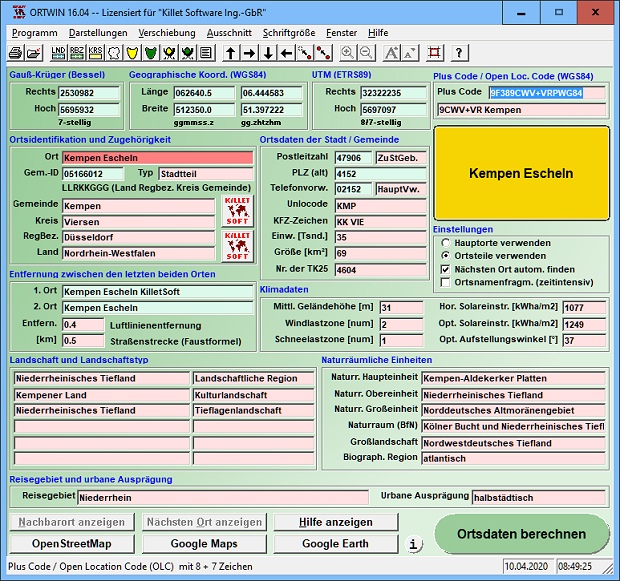
 ORTWIN is a program for the inquiry of localities, postal codes and telephone selections in Germany. It finds coordinates and ground level elevations, municipal codes, local center points, car license codes, topographic maps, Unlocodes and much more. It arranges localities hierarchically in different administrative units. It performs perimeter searches and distance calculations. It finds landscapes, natural units and snow- and wind load zones.
Windows | Shareware
Read More | Download Now
Graphic Apps :: Editors
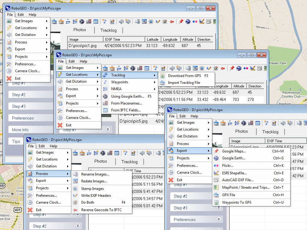
 Geocode digital photos, including RAW. Stamp the images or write (lossless) to the EXIF. Create web pages using Google Maps, export KML/KMZ files to Google Earth, upload to Flickr, export shapefiles (SHP), GPX, or AutoCAD DXF files. Supports Garmin GPS units (USB or COM), but no GPS is required. Geotag from a tracklog, waypoints, NMEA, placenames or a GPX file. UTM and MGRS support. Easy to use. Free lifetime upgrades.
Windows | Demo
Read More | Download Now
Home & Hobby :: Recreation
 - you can show a current GPS data (Speed, Direction, Longitude, Latitude, Time, Date, Height);
- you can open any of scanned maps (in a "bmp" or "dib" format);
- you can calibrate the scanned maps yourself by two calibration points only (left-top and right-bottom);
- calibrations are stored automatically for every map, you do not need to calibrate a map next time;
- you can see your route line at the map;
Windows | Demo
Read More | Download Now
[1]


