Search N5 Net Software Repository:
Search Files
Sponsor:
Browse:
- Audio & Multimedia (1596)
- Business (4238)
- Communications (1257)
- Desktop (183)
- Development (602)
- Education (171)
- Games & Entertainment (702)
- Graphic Apps (686)
- Home & Hobby (107)
- Network & Internet (571)
- Security & Privacy (532)
- Servers (65)
- System Utilities (11196)
- Web Development (284)
Areas Of Interest
Authors Area
Are you a software author? Take a look at our Author Resource Center where you will find marketing tools, software specifically created for promoting your software and a ton of other helpful resources.
Search: shapefile
MINDFUSION.MAPPING FOR SILVERLIGHT 1.0
Development :: Components & Libraries
 MindFusion.Mapping comprises a Silverlight control and a class library that provides your application with great features for loading, customizing and displaying any type of regional, national or world map. Easy to integrate and program, this control gives you the power to build the perfect map according to your needs with minimal time and efforts from your side. Map data can be loaded from the popular ESRI Shapefile format.
Windows | Commercial
Read More | Download Now
Education :: Geography
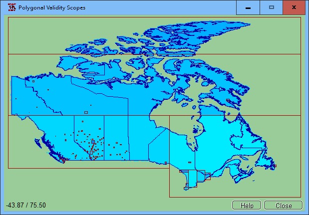
 The spatial software NTv2Poly replaces the quadrangular activity scope contained in NTv2 files with a Polygonal Validity Scope, which is realized with an outline file in classic Shape Format. Invalid calculations outside the Polygonal Validity Scope thus can be excluded or acknowledged by a warning. Download the trial version from http://www.killetsoft.de/zip/ntv2poly.zip. Read the Worksheet at http://www.killetsoft.de/t_1808_e.htm.
Windows | Shareware
Read More | Download Now
Graphic Apps :: Editors
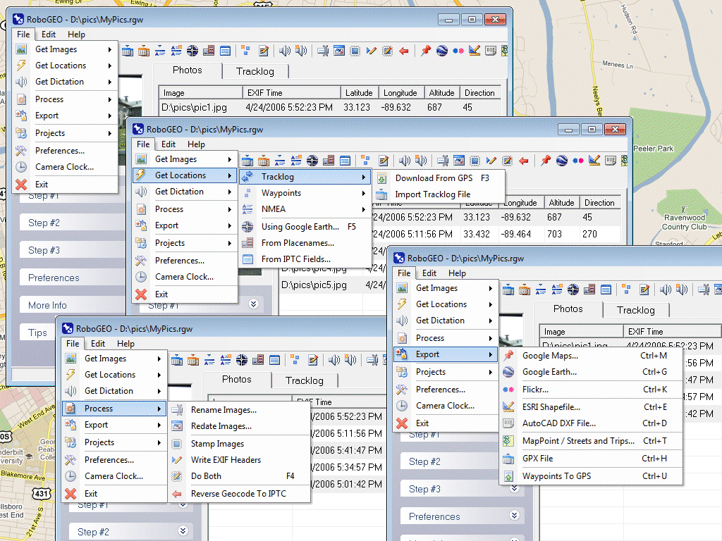
 Geocode digital photos, including RAW. Stamp the images or write (lossless) to the EXIF. Create web pages using Google Maps, export KML/KMZ files to Google Earth, upload to Flickr, export shapefiles (SHP), GPX, or AutoCAD DXF files. Supports Garmin GPS units (USB or COM), but no GPS is required. Geotag from a tracklog, waypoints, NMEA, placenames or a GPX file. UTM and MGRS support. Easy to use. Free lifetime upgrades.
Windows | Demo
Read More | Download Now


