


N5 Net Software Repository
Your one-stop for all your software needs.
Search N5 Net Software Repository:
Search Files
Sponsor:
Browse:
- Audio & Multimedia (1527)
- Business (1697)
- Communications (462)
- Desktop (135)
- Development (555)
- Education (163)
- Games & Entertainment (700)
- Graphic Apps (657)
- Home & Hobby (102)
- Network & Internet (524)
- Security & Privacy (499)
- Servers (65)
- System Utilities (8668)
- Web Development (279)
Areas Of Interest
Authors Area
Are you a software author? Take a look at our Author Resource Center where you will find marketing tools, software specifically created for promoting your software and a ton of other helpful resources.
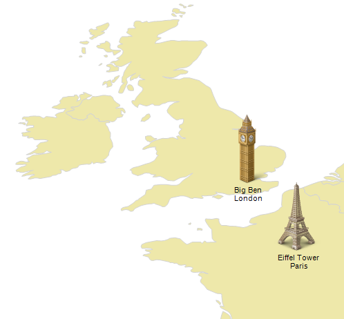
MindFusion.Mapping for Silverlight 1.0
Development :: Components & Libraries
(Click to Enlarge)
MindFusion.Mapping comprises a Silverlight control and a class library that provides your application with great features for loading, customizing and displaying any type of regional, national or world map. Easy to integrate and program, this control gives you the power to build the perfect map according to your needs with minimal time and efforts from your side. You can: - add labels to map elements - access database data associated with map elements - choose the color scheme - set decorative elements like images, icons etc. Map data can be loaded from the popular ESRI Shapefile format and you have at your disposal an impressive variety of *.shp files, which give you valuable data for any country in the world as well for selected cities, rivers, roads and other geographic objects. Data for the attributes of map elements can be loaded from a DBF file associated with each map. The control supports multiple layers so you can show several maps in a single view. MindFusion.Mapping is installed with various samples in C# and VB.NET that demonstrate all important features of the control and significantly shorten the time needed to learn how to use it. The help file also includes step-by-step guides and tutorials. The API is documented in details and both offline and online documentation is provided. The control and the map files included in the package are royalty free.
Specifications:
Version: 1.0 |
Download
|

Similar Products:
Communications :: Dial Up & Connection Tools
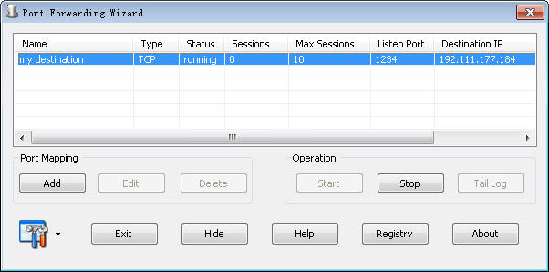
Windows | Shareware
Read More
System Utilities :: Printer
 Graph Paper Generator generates Cartesian (square), Multilevel Cartesian, and Hexagonal graph paper. It has a WYSIWYG configuration interface with a docking property window that allows fast, interactive specification of the graph paper. Cell sizes are specified in milimeters, and line thicknesses are specified in printer pixels. You can customise line color, thickness, style (dash, dot, solid, etc). You can set a background color for the page.
Windows | Shareware
Read More
System Utilities :: System Maintenance
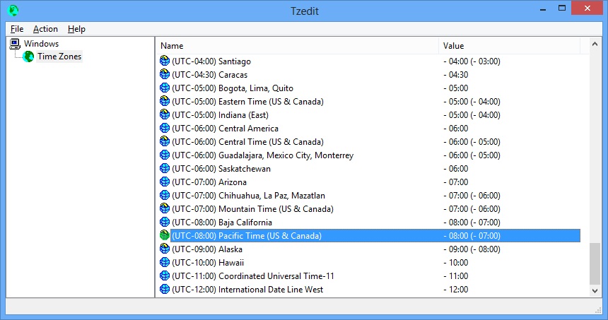 Tzedit is a freeware utility that allows you to edit time zone information in Windows. All parameters can be edited such as time zone name and information, time zone location on the world map (MapID), Microsoft Time Zone Index, MUI strings for time zone name and Dynamic DST settings. This utility works on any version of Windows from Windows 95 to Windows 11.
Windows | Freeware
Read More
System Utilities :: Other
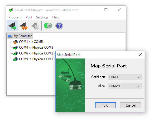 Serial Port Mapper - Map serial ports to any other port names, swap existing serial ports. In other words, it allows creating aliases for COM ports and redirect any necessary data.
Windows | Shareware
Read More