Search N5 Net Software Repository:
Search Files
Sponsor:
Browse:
- Audio & Multimedia (1596)
- Business (4238)
- Communications (1258)
- Desktop (183)
- Development (602)
- Education (171)
- Games & Entertainment (702)
- Graphic Apps (686)
- Home & Hobby (107)
- Network & Internet (571)
- Security & Privacy (532)
- Servers (65)
- System Utilities (11196)
- Web Development (284)
Areas Of Interest
Authors Area
Are you a software author? Take a look at our Author Resource Center where you will find marketing tools, software specifically created for promoting your software and a ton of other helpful resources.
Search: gps
Development :: Other
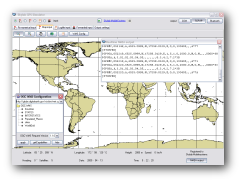 The simulator provides a complete suite for all your GPS simulating needs. You can:
* Replay your GPS logfiles
* Multiplex your GPS receivers
* Transform your GPS receiver interface
* Bridge a remote GPS receiver
Windows | Demo
Read More | Download Now
Graphic Apps :: Viewers
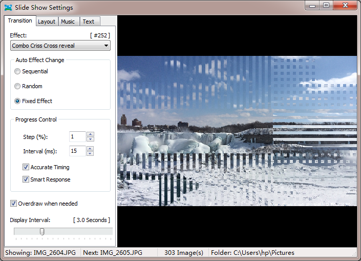 Display photos on screen with 256 transition effects and background music. Photos can be shown like a slide show with animation effects in chronological order. When and where photos were taken are optional to be shown on the bottom. You can decide how fast your photos are displayed in the slideshow. It's a photo viewer with playback feature that brings you happiness and a handy tool for retail shop window displays and demonstration.
Windows | Shareware
Read More | Download Now
Graphic Apps :: Viewers
 Honeyview is very fast image and archived image viewing software which allows the viewing of images within an archive, such as ZIP, RAR, 7Z, LZH, TAR, ALZ, and EGG, without extraction. Honeyview can view most common image formats including BMP, JPG, GIF, PNG, PSD, DDS, JXR, WebP, J2K, JP2, TGA, TIFF, PCX, PNM, and PPM. RAW formats such as DNG, CR2, CRW, NEF, NRW, ORF, RW2, PEF, SR2, and RAF are also supported.
Windows | Freeware
Read More | Download Now
Desktop :: Other

Windows | Freeware
Read More | Download Now
System Utilities :: Other
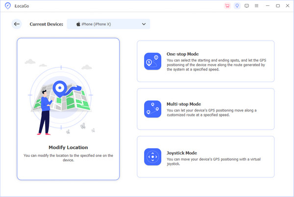 imyPass iLocaGo is powerful enough to enable you to change the location on your iOS devices and customize routes as you like. Whats more, it is a wonderful and useful GPS spoofer when you play a location-based AR game.
Windows | Shareware
Read More | Download Now
::
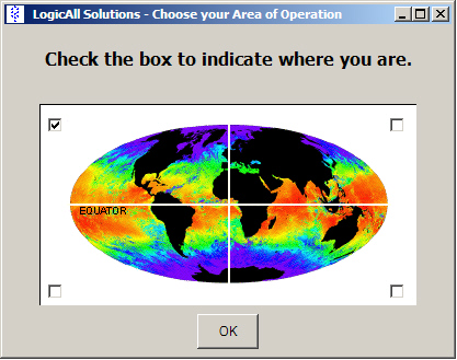 Have a GPS and a laptop? Use this to find your way. Make patterns or a trail to share with others. When the application starts, you may pick your area of operations - be it North America, South America, Europe and Asia, or Australia. Your quadrant is determined by where you are in relation to the Equator and the Prime Meridian. Tracking of your position is automatically enabled when the application starts. LAS GPS Monitor reads NMEA-182 data
Windows | Freeware
Read More | Download Now
Education :: Geography
 Latitude and Longitude app for android allows you to get or share map coordinates of your current location. You can share gps coordinates in many ways using Latitude Longitude app. - share your current gps location with anyone using GPS coordinates, address or both. - share a location of some point on the map coordinate. Let's say if you want to meet someone, you can send him the location as GPS coordinates, address or both.
| Freeware
Read More | Download Now
Graphic Apps :: Viewers
 The Panorado5.0 image viewer/browser offers a comfortable, innovative mouse-oriented interface. This makes it particularly suitable for viewing panoramic and HDR images. Instant 360-degree viewing, flat + spherical. Navigation bar, thumbnails, full screen mode, slide shows, printing, picture disk creation, image finder. 14 file formats + QTVR + RAW + HDR. EXIF, IPTC and GPS support. Windows application.
Windows | Freeware
Read More | Download Now
Graphic Apps :: Editors
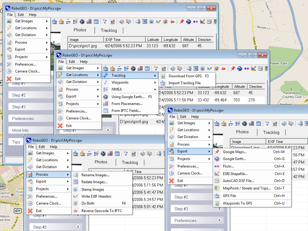 Geocode digital photos, including RAW. Stamp the images or write (lossless) to the EXIF. Create web pages using Google Maps, export KML/KMZ files to Google Earth, upload to Flickr, export shapefiles (SHP), GPX, or AutoCAD DXF files. Supports Garmin GPS units (USB or COM), but no GPS is required. Geotag from a tracklog, waypoints, NMEA, placenames or a GPX file. UTM and MGRS support. Easy to use. Free lifetime upgrades.
Windows | Demo
Read More | Download Now
Network & Internet :: Other
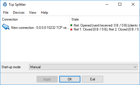 TCP Splitter is a software tool that can split a TCP or UDP data stream into two or three identical data streams, so more than one application can simultaneously process the incoming data. For example, you can send NMEA 0183 data to a navigation application and simultaneously log the data using one of our loggers.
Windows | Shareware
Read More | Download Now
Business :: Math & Scientific Tools
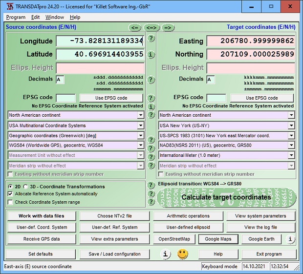 TRANSDATpro Coordinate Transformation supports thousands of coordinate systems and geodetic datum shifts, user-defined systems, INSPIRE, NTv2, NAD, HARN, EPSG, GPS, continental drift, Text, CSV, Arc-Shape, KML, GPX and other file systems with highest accuracy. Outdoor GPS reception, mapping in Google Earth, Google Maps and OpenStreetMap, Meridian Convergence and Extra Parameter, Polygonal scopes in NTv2 files, multilingual user interface.
Windows | Shareware
Read More | Download Now


