Search N5 Net Software Repository:
Search Files
Sponsor:
Browse:
- Audio & Multimedia (1596)
- Business (4238)
- Communications (1257)
- Desktop (183)
- Development (602)
- Education (171)
- Games & Entertainment (702)
- Graphic Apps (686)
- Home & Hobby (107)
- Network & Internet (571)
- Security & Privacy (532)
- Servers (65)
- System Utilities (11196)
- Web Development (284)
Areas Of Interest
Authors Area
Are you a software author? Take a look at our Author Resource Center where you will find marketing tools, software specifically created for promoting your software and a ton of other helpful resources.
Search: gbr
Education :: Science
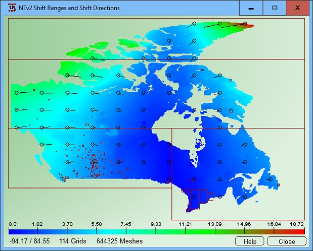 NTv2Tools Geosoftware provides tools for developing and processing of NTv2 files in binary and ASCII formats. With the included tools NTv2 files can be analyzed and graphically or textual displayed, they can be converted to other file formats and areas of them can be extracted to new NTv2 files.
Windows | Shareware
Read More | Download Now
Business :: Databases & Tools
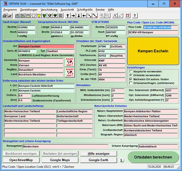 ORTWIN is a program for the inquiry of localities, postal codes and telephone selections in Germany. It finds coordinates and ground level elevations, municipal codes, local center points, car license codes, topographic maps, Unlocodes and much more. It arranges localities hierarchically in different administrative units. It performs perimeter searches and distance calculations. It finds landscapes, natural units and snow- and wind load zones.
Windows | Shareware
Read More | Download Now
PAS - PROFESSIONELLE AUTOSUCHE 2.0.1.0
Network & Internet :: Search/Lookup Tools
 PAS will show you new Cars of all important German Internetplatforms in a matter of Seconds. You´re annoyed to Search for Cars on Internetplatforms by Hand and pass the best? With PAS you create Searchmasks only once. PAS will search permanently all important Internetplatforms for Cars of you Interest. Founded Cars will shown cleary on your Screen with all important details.
Windows | Demo
Read More | Download Now
Business :: Math & Scientific Tools
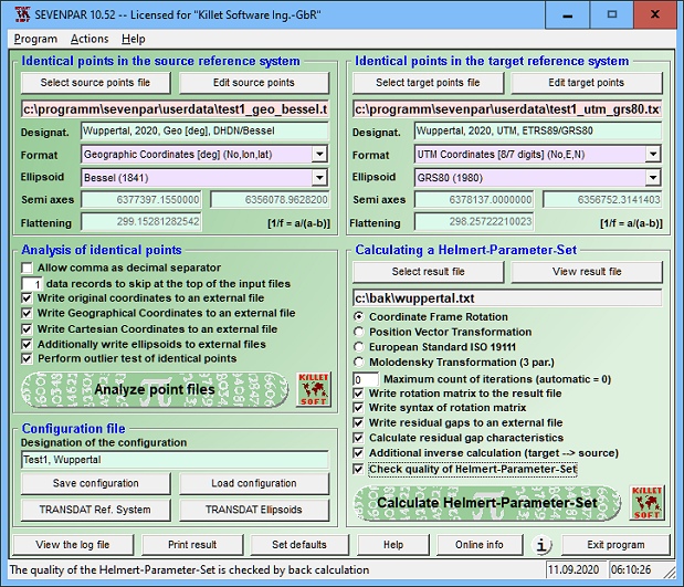 SEVENPAR is a tool for the calculation of highly exact transformation parameters for the Spatial Helmert and Molodensky Transformation, which make possible precise coordinate transformations from one reference system into another. The determined transformation parameters can be entered directly into suitable transformation software, e.g. TRANSDAT Coordinate Transformations, or into the calculation software of GPS receivers.
Windows | Shareware
Read More | Download Now
Business :: Databases & Tools
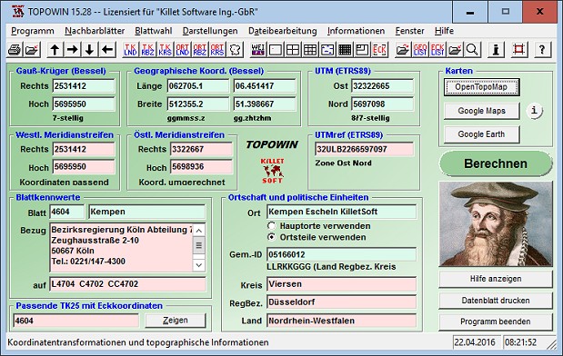 TOPOWIN is a state-wide register of the German topographic cartographies and of localities with geo references in different coordinate systems. It also is a topographic information system. The topographical maps of different standards can be determined by the entering of known parameters or by the direct selection from overview graphics and from sorted lists.
Windows | Shareware
Read More | Download Now
Business :: Math & Scientific Tools
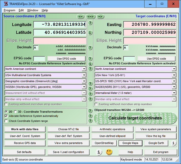 TRANSDATpro Coordinate Transformation supports thousands of coordinate systems and geodetic datum shifts, user-defined systems, INSPIRE, NTv2, NAD, HARN, EPSG, GPS, continental drift, Text, CSV, Arc-Shape, KML, GPX and other file systems with highest accuracy. Outdoor GPS reception, mapping in Google Earth, Google Maps and OpenStreetMap, Meridian Convergence and Extra Parameter, Polygonal scopes in NTv2 files, multilingual user interface.
Windows | Shareware
Read More | Download Now


