Search N5 Net Software Repository:
Search Files
Sponsor:
Browse:
- Audio & Multimedia (1596)
- Business (4238)
- Communications (1257)
- Desktop (183)
- Development (602)
- Education (171)
- Games & Entertainment (702)
- Graphic Apps (686)
- Home & Hobby (107)
- Network & Internet (571)
- Security & Privacy (532)
- Servers (65)
- System Utilities (11196)
- Web Development (284)
Areas Of Interest
Authors Area
Are you a software author? Take a look at our Author Resource Center where you will find marketing tools, software specifically created for promoting your software and a ton of other helpful resources.
Downloading EarthSunX 3.10
Your download will begin in a few seconds. If it does not start you can download directly through one of the mirror sites below.
- Mirror Site 1: http://www.xdesksoftware.com/setup_earthsunx_310_144.exe
- Mirror Site 2: http://www.desktop-utilities.com/setup_earthsunx_310_144.exe
Get Details for EarthSunX 3.10
Similar Products:
Desktop :: Screen Savers: Nature
 EarthView is a dynamic desktop wallpaper and screen saver, which displays beautiful views of the earth with daylight and night shadows. It produces colorful, high quality, high resolution images for every screen resolution - even beyond 3840x2160! The program supports map and globe views, urban areas, city lights, atmospheric effects, clouds, weather information, local time display and much more.
Windows | Shareware
Read More
GOOGLE EARTH IMAGES DOWNLOADER 6.48
Network & Internet :: Download Managers
 google earth images downloader is a tool that help you to get offline satellite tile images from google earth (not google maps), including historical imagery. It can work without google earth installed.
Windows | Shareware
Read More
System Utilities :: File & Disk Management
 EarthLink Backup Tool is a third party software which perform EarthLink email forwarding in a very sophisticated manner. The software provide complete solution of how to move EarthLink Webmail to Gmail, Outlook, Office 365, Hotmail, Yahoo Mail, G Suite etc.? EarthLink Backup Tool offer various advance filters so that user can easily backup required emails to multiple file formats easily.
Windows | Shareware
Read More
Home & Hobby :: Genealogy
 Now you can link the individuals in your family tree to the powerful mapping capabilities of Google Earth. Automatically create Placemarks for events in the lives of individuals and view a path following the movements during their lifetime. Use the timespan slider feature of Google Earth to restrict the view to a period of history and watch your family's story unfold...
Windows | Shareware
Read More
EARTH PRESSURE ANALYSIS SOFTWARE LATERALK 3.0
Education :: Science
 LateralK is a simple software for calculating lateral earth pressure coefficients and forces behind retaining walls in static and earthquake condition based on Rankine/ Coulumb formulas and also Mononobe/ Okabe methods. User manual (Help) is available for software. For more information visit https://novotechsoftware.com/geotechnical-software/lateral-earth-pressure-software
Windows | Shareware
Read More
EARTH PRESSURE ANALYSIS PROGRAM LATERALK 4.0
Business :: Math & Scientific Tools
 LateralK is a simple software for calculating lateral earth pressure coefficients and forces behind retaining walls in static and earthquake condition based on Rankine/ Coulumb formulas and also Mononobe/ Okabe methods. User manual (Help) is available for software. For more information visit https://novotechsoftware.com/geotechnical-software/lateral-earth-pressure-software/
Windows | Shareware
Read More
Home & Hobby :: Other
 If you use Google Earth to prepare for your Geocaching trips, then you'll know that it's often difficult to find the right caches and to see which ones you already visited. This program makes it easier by preparing your GPX files for Google Earth. Now you can see which caches you've already visited, which ones are out-of-order and which ones you own. Requires GPX files with the cache information.
Windows | Freeware
Read More
Graphic Apps :: Editors
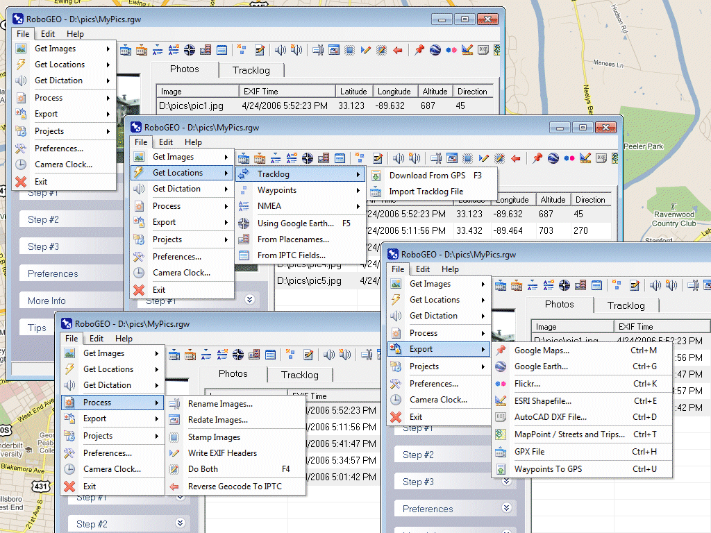
 Geocode digital photos, including RAW. Stamp the images or write (lossless) to the EXIF. Create web pages using Google Maps, export KML/KMZ files to Google Earth, upload to Flickr, export shapefiles (SHP), GPX, or AutoCAD DXF files. Supports Garmin GPS units (USB or COM), but no GPS is required. Geotag from a tracklog, waypoints, NMEA, placenames or a GPX file. UTM and MGRS support. Easy to use. Free lifetime upgrades.
Windows | Demo
Read More


