Search N5 Net Software Repository:
Search Files
Sponsor:
Browse:
- Audio & Multimedia (1596)
- Business (4238)
- Communications (1257)
- Desktop (183)
- Development (602)
- Education (171)
- Games & Entertainment (702)
- Graphic Apps (686)
- Home & Hobby (107)
- Network & Internet (571)
- Security & Privacy (532)
- Servers (65)
- System Utilities (11196)
- Web Development (284)
Areas Of Interest
Authors Area
Are you a software author? Take a look at our Author Resource Center where you will find marketing tools, software specifically created for promoting your software and a ton of other helpful resources.
NTv2Poly 8.02
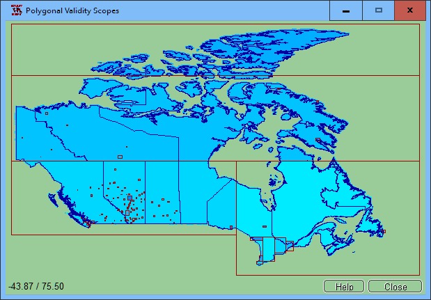
The spatial software NTv2Poly replaces the quadrangular activity scope contained in NTv2 files with a Polygonal Validity Scope, which is realized with an outline file in classic Shape Format. Invalid calculations outside the Polygonal Validity Scope thus can be excluded or acknowledged by a warning. Download the trial version from http://www.killetsoft.de/zip/ntv2poly.zip. Read the Worksheet at http://www.killetsoft.de/t_1808_e.htm. Using NTv2 grid files it is possible to transform points from one coordinate reference system to another with very high accuracy. An NTv2 file contains one or more quadrangular coordinate grids which are defined in the NTv2 headers. Instead of a quadrangular area only an embedded polygonal area should and must be covered, for example, a state territory within the country borders. The program NTv2Poly realizes Polygonal Validity Scopes in NTv2 files. Using so prepared NTv2 files, coordinates outside the validity scope can be excluded from calculations or they can be acknowledged by a warning. This works with coordinate transformations using the geospatial software TRANSDATpro and GeoDLL by KilletSoft and with many GIS programs which support Polygonal Validity Scopes. The Polygonal Validity Scope is realized with a shape file, which contains the outlines of the scope as polygons. The file format Shape is developed by ESRI as a format for geographical objects. For example, in the shape file the border outlines of a country may be stored, which represent the polygonal scope for the NTv2 file used in that country. Using the program NTv2Poly the polygons of the shape file and the quadrangular surface of the NTv2 file are superimposed one on the other and processed in an ingenious manner. The program has a user-selectable multi language interface and comes with extensive online help. The program can be run on most common networks and it is possible to use Terminal Services on WINDOWS Servers.
Specifications:
Version: 8.02 |
Download
|
Similar Products:
Education :: Geography
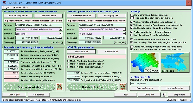
 NTv2Creator geosoftware provides a powerful tool for modeling accurate NTv2 files from identical points in two different Reference Systems. The software analyses two files with identical points and suggests the boundaries and mesh sizes which can then be changed manually.
Windows | Shareware
Read More


