Search N5 Net Software Repository:
Search Files
Sponsor:
Browse:
- Audio & Multimedia (1596)
- Business (4238)
- Communications (1257)
- Desktop (183)
- Development (602)
- Education (171)
- Games & Entertainment (702)
- Graphic Apps (686)
- Home & Hobby (107)
- Network & Internet (571)
- Security & Privacy (532)
- Servers (65)
- System Utilities (11196)
- Web Development (284)
Areas Of Interest
Authors Area
Are you a software author? Take a look at our Author Resource Center where you will find marketing tools, software specifically created for promoting your software and a ton of other helpful resources.
TRANSDATpro 28.54
Business :: Math & Scientific Tools
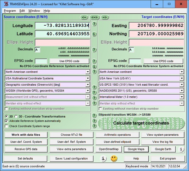
TRANSDATpro can prove a helpful tool for professionals, providing them with the possibility to perform coordinate transformations fast and easy by use of the coordinate reference systems of their choice. TRANSDATpro performs Coordinate Transformations fast and with high accuracy. The coordinate conversion software supports worldwide thousands of Coordinate Systems, geodetic Reference Systems and Datum Shifts, user-defined systems, 2D/3D transformations, INSPIRE, NTv2, HARN, EPSG, GPS, continental drift and more. The geographic calculator reads and writes the file systems Text, CSV, SDF, dBase, Arc-Shape, Arc-Generate, KML, GPX and others. Furthermore: Outdoor GPS reception, mapping in Google Earth, Google Maps and OpenStreetMap, Meridian Convergence and Extra Parameter, Polygonal scopes in NTv2 files, multilingual user interface. These Coordinate and Reference Systems are supported: The current and historical Systems of all countries of Europe - The European ETRS89 systems forced by INSPIRE - The US and Canadian NAD, NTv2, HARN and SPCS Coordinate Reference Systems - The Coordinate Reference Systems of most countries of all continents - The Coordinate Reference Systems of Germany, Austria and Switzerland incl. NTv2 - The Coordinate Reference Systems of the old and new German Federal States - The Geographic coordinates in different notations and Cartesian coordinates - Worldwide NTv2 gridfile supported Coordinate Transformations - Worldwide used numeric and alphanumeric Coordinate Systems - Most of EPSG supported Coordinate Reference Systems - ITRS annual realizations or WGS84 epochs for GPS measurements - WGS84 Coordinate Transformations in consideration of the continental drift - User defined Coordinate Systems, Reference Systems and earth ellipsoids - Meridian Convergence, Origin Center Meridian, Geographical Point Coordinates. A list with all supported CRS can be found at http://www.killetsoft.de/p_trdl_e.htm.
Specifications:
Version: 28.54 |
Download
|
Similar Products:
Development :: Components & Libraries
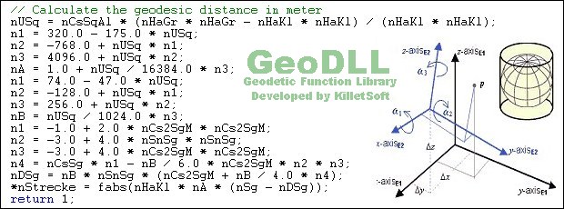
 GeoDLL is a Geodetic Development Kit / Geodetic Function Library with worldwide 2D and 3D Coordinate Transformation, Datum Shift, Meridian Convergence and Extra Parameter with highest accuracy. Furthermore: Helmert and Molodensky Parameters, NTv2, HARN, INSPIRE, EPSG, Digital Elevation Model (DEM), distance and Time Zone calculations and much more. GeoDLL for geodetic and GIS development is available as 32Bit and 64Bit DLL and as C++ source code.
Windows | Shareware
Read More


