Search N5 Net Software Repository:
Search Files
Sponsor:
Browse:
- Audio & Multimedia (1596)
- Business (4238)
- Communications (1258)
- Desktop (183)
- Development (602)
- Education (171)
- Games & Entertainment (702)
- Graphic Apps (686)
- Home & Hobby (107)
- Network & Internet (571)
- Security & Privacy (532)
- Servers (65)
- System Utilities (11196)
- Web Development (284)
Areas Of Interest
Authors Area
Are you a software author? Take a look at our Author Resource Center where you will find marketing tools, software specifically created for promoting your software and a ton of other helpful resources.
GPS-Simulator 2.2
Development :: Other
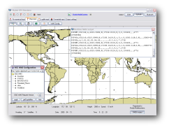
The simulator provides a complete suite for all your GPS simulating needs. You can: * Replay your GPS logfiles * Multiplex your GPS receivers * Transform your GPS receiver interface * Bridge a remote GPS receiver
Specifications:
Version: 2.2 |
Download
|
Similar Products:
ADVANCED NMEA DATA LOGGER 4.1.0.1224
Communications :: Other Comms Tools
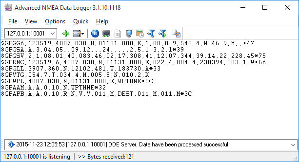 No need to expend many days developing your personal GPS sentences acquisition program - NMEA Data Logger is here to help! The program captures GPS sentences from any talker or tool in real time, transfers and acquires NMEA bytes over Ethernet. Format your data bytes the way you want with a built-in parser and send it to Access or database. It will always be there recording your data, receiving every bytes. Astounding functionality at an acceptab
Windows | Shareware
Read More
Network & Internet :: Other
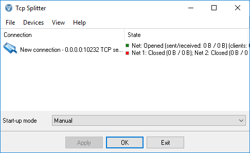 TCP Splitter is a software tool that can split a TCP or UDP data stream into two or three identical data streams, so more than one application can simultaneously process the incoming data. For example, you can send NMEA 0183 data to a navigation application and simultaneously log the data using one of our loggers.
Windows | Shareware
Read More
System Utilities :: Other
 AnyCoord is a powerful tool that lets you change your GPS location to any place you choose. When playing AR games on your iPhone or iPad, it can help you set a virtual location. Just enter the location you want, and it will create a fake GPS location for your device.
Windows | Shareware
Read More
Business :: Math & Scientific Tools
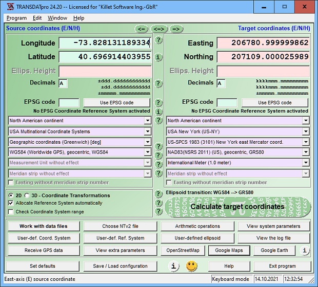 TRANSDATpro Coordinate Transformation supports thousands of coordinate systems and geodetic datum shifts, user-defined systems, INSPIRE, NTv2, NAD, HARN, EPSG, GPS, continental drift, Text, CSV, Arc-Shape, KML, GPX and other file systems with highest accuracy. Outdoor GPS reception, mapping in Google Earth, Google Maps and OpenStreetMap, Meridian Convergence and Extra Parameter, Polygonal scopes in NTv2 files, multilingual user interface.
Windows | Shareware
Read More


