Search N5 Net Software Repository:
Search Files
Sponsor:
Browse:
- Audio & Multimedia (1596)
- Business (4238)
- Communications (1258)
- Desktop (183)
- Development (602)
- Education (171)
- Games & Entertainment (702)
- Graphic Apps (686)
- Home & Hobby (107)
- Network & Internet (571)
- Security & Privacy (532)
- Servers (65)
- System Utilities (11196)
- Web Development (284)
Areas Of Interest
Authors Area
Are you a software author? Take a look at our Author Resource Center where you will find marketing tools, software specifically created for promoting your software and a ton of other helpful resources.
Search: corner
::
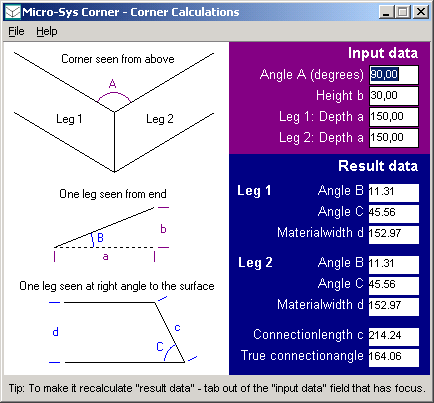
 Corner is a program for calculating odd corners made from sheetmaterials like aluminium, steel, or glass. It could be the corners of aluminium- or steelfacades - or perhaps strangely-shaped fishtanks... If you are in that line of work or a bit interested in geometry, Corner will be very easy to use as you will recognize the scenario - if not Corner will be useless to you!
Windows | Freeware
Read More | Download Now
Development :: Components & Libraries
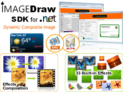
 ImageDraw generates real time on-fly Dynamic Composite Images for any .NET-based application. It allows you to use all the potential of GDI+ to dynamically create composite images with lots of useful built-in Imaging Effects. Deliver real time dynamically generated composite images such as picture thumbnails, image buttons or any other graphical application.
Windows | Shareware
Read More | Download Now
STAMP MULTIPLE VIDEOS WITH TEXT SOFTWARE 7.0
Audio & Multimedia :: Video Tools
 This software offers a solution to users who want to add a text stamp or watermark to multiple videos at once. The file formats that are supported are: MP4, AVI, MPG, FLV, MOV and WMV. The user simply adds video files or an entire folder, chooses the position, font and color of the stamp, and enters the text. Using this easy to use software, text watermarking a large numbers of video files takes just one click.
Windows | Shareware
Read More | Download Now
Business :: Databases & Tools
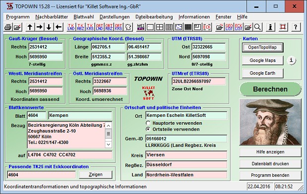
 TOPOWIN is a state-wide register of the German topographic cartographies and of localities with geo references in different coordinate systems. It also is a topographic information system. The topographical maps of different standards can be determined by the entering of known parameters or by the direct selection from overview graphics and from sorted lists.
Windows | Shareware
Read More | Download Now


