Search N5 Net Software Repository:
Search Files
Sponsor:
Browse:
- Audio & Multimedia (1596)
- Business (4238)
- Communications (1257)
- Desktop (183)
- Development (602)
- Education (171)
- Games & Entertainment (702)
- Graphic Apps (686)
- Home & Hobby (107)
- Network & Internet (571)
- Security & Privacy (532)
- Servers (65)
- System Utilities (11196)
- Web Development (284)
Areas Of Interest
Authors Area
Are you a software author? Take a look at our Author Resource Center where you will find marketing tools, software specifically created for promoting your software and a ton of other helpful resources.
NTv2Tools 8.13
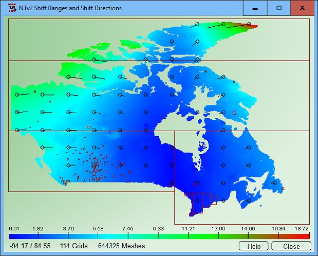
NTv2Tools Geosoftware provides tools for developing and processing of NTv2 files in binary and ASCII formats. With the included tools NTv2 files can be analyzed and graphically or textual displayed, they can be converted to other file formats and areas of them can be extracted to new NTv2 files. By means of NTv2 grid files it is possible to transform points from one coordinate reference system to another with very high accuracy. An NTv2 file contains one or more quadrangular coordinate grids which are defined in the NTv2 headers. The program NTv2Tools provides digital tools for developing and processing NTv2 files in binary and ASCII formats. The program analyzes NTv2 files and outputs detailed information on the screen, in graphics files and in text files. The program allows conversions between the binary and ASCII formatted variants of the NTv2 files. Furthermore, areas can be extracted from NTv2 files and swapped out to new NTv2 files. This resolves the known issues with oversized NTv2 files. In the future, also new NTv2 grids can be added to existing NTv2 files. With the program NTv2Tools in detail the following processings are possible: Analyze NTv2 file; Display NTv2 grids and subgrids; Display NTv2 activity scopes (normal and polygonal); Convert NTv2 ASCII file to NTv2 Binary file; Convert NTv2 Binary file to NTv2 ASCII file; Extract an area from a NTv2 file. NTv2 files that have been previously equipped with Polygonal Validity Scopes to map a polygonal boundary instead of a quadrangular area in the NTv2 grids are supported by the NTv2Tools program. The Polygonal Validity Scopes realized in the NTv2 files is graphically displayed during the analysis. The program has a user-selectable multi language interface and comes with extensive online help. The program can be run on most common networks and it is possible to use Terminal Services on WINDOWS Servers. In case of a network installation the clients are installed automatically by the program.
Specifications:
Version: 8.13 |
Download
|
Similar Products:
Business :: Math & Scientific Tools
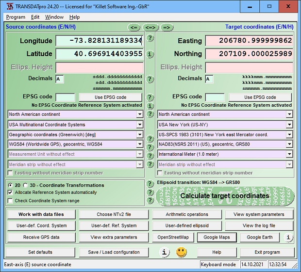
 TRANSDATpro Coordinate Transformation supports thousands of coordinate systems and geodetic datum shifts, user-defined systems, INSPIRE, NTv2, NAD, HARN, EPSG, GPS, continental drift, Text, CSV, Arc-Shape, KML, GPX and other file systems with highest accuracy. Outdoor GPS reception, mapping in Google Earth, Google Maps and OpenStreetMap, Meridian Convergence and Extra Parameter, Polygonal scopes in NTv2 files, multilingual user interface.
Windows | Shareware
Read More
Development :: Components & Libraries
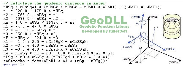
 GeoDLL is a Geodetic Development Kit / Geodetic Function Library with worldwide 2D and 3D Coordinate Transformation, Datum Shift, Meridian Convergence and Extra Parameter with highest accuracy. Furthermore: Helmert and Molodensky Parameters, NTv2, HARN, INSPIRE, EPSG, Digital Elevation Model (DEM), distance and Time Zone calculations and much more. GeoDLL for geodetic and GIS development is available as 32Bit and 64Bit DLL and as C++ source code.
Windows | Shareware
Read More
Education :: Geography
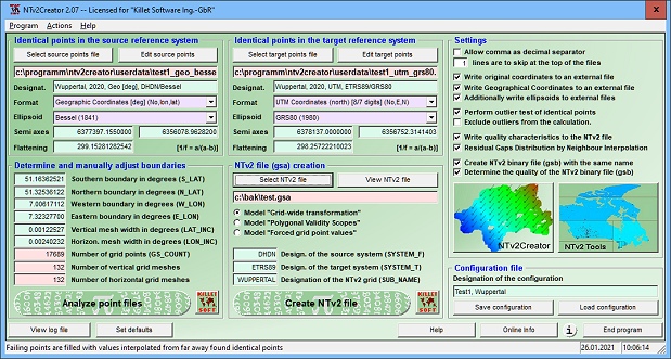
 NTv2Creator geosoftware provides a powerful tool for modeling accurate NTv2 files from identical points in two different Reference Systems. The software analyses two files with identical points and suggests the boundaries and mesh sizes which can then be changed manually.
Windows | Shareware
Read More


